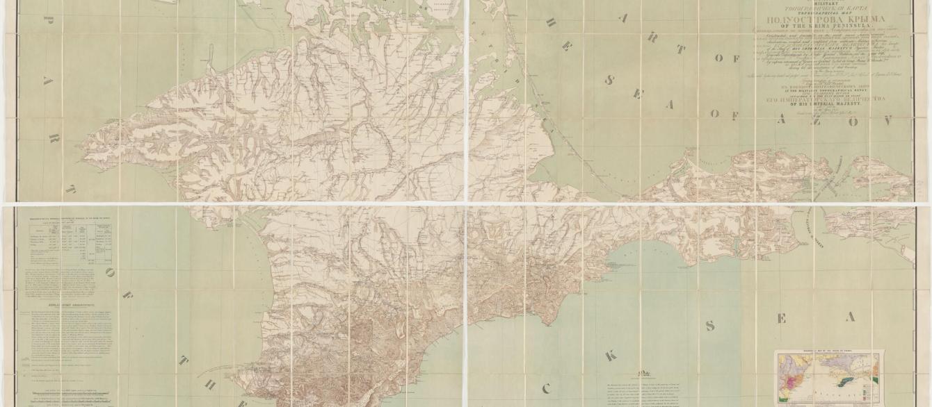
Harvard University, Harvard Map Collection, G7103_C7_1855_M8_Stitched
In our first episode, Dr. O'Neill goes to the Harvard Map Collection with high-school student Lily Grodzins to investigate a map of Crimea produced in 1855 and dedicated to Queen Victoria. What they find is a map bigger than most kitchen tables, riddled with misinformation, and full of everything from mountains to mud volcanos. Who made the map? And where do the British fit in? Listen and find out!


