

Fire, according to Russian imperial officials, was "one of the most characteristic features of daily life in Russia, and one of the most frequent manifestations of the struggle with nature" waged by peasants from time immemorial. But it was also a manifestation of peasant unrest during the volatile times of the 1860s marked by military defeat, reforms, and emancipation of serfs.
This dataset describes the frequency and impact of fires — in terms of the number of burned households and cost of damages — in 49 European provinces of the Russian Empire over a five-year period, from 1860 to 1864. A subset of the data addresses incidents of arson. The data was sourced from an official publication by the Ministry of Internal Affairs and mapped according to historical spatial data extracted from the Geographical Atlas of European Russia (with boundaries adapted to reflect the 1860s). The interactive package available here includes province-level data (polygons) and town-level data (points).
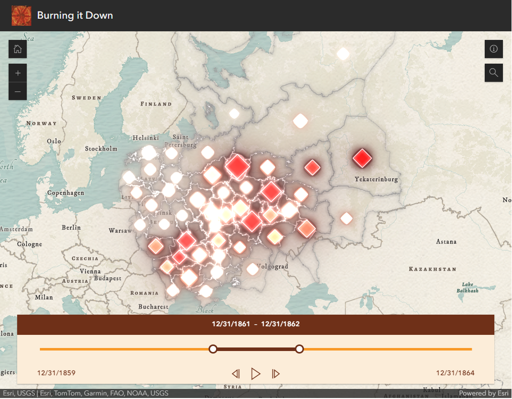
This time-enabled map allows you to step through a five-year period examining shifts in the geography of arson events.

Director of Graduate Studies, REECA Program, and Director, Imperiia Project, Davis Center
