What it is
A downloadable dataset intended for research, spatial analysis, and building visualizations (including maps).
What it contains
5 shapefiles; 9 csv files
GIS users will be interested in the full set. Those comfortable with tabular data will want to work with the csv files. The data is accompanied by a readme, a table of contents, a codebook (which provides human-readable definitions of attribute names), and a glossary.
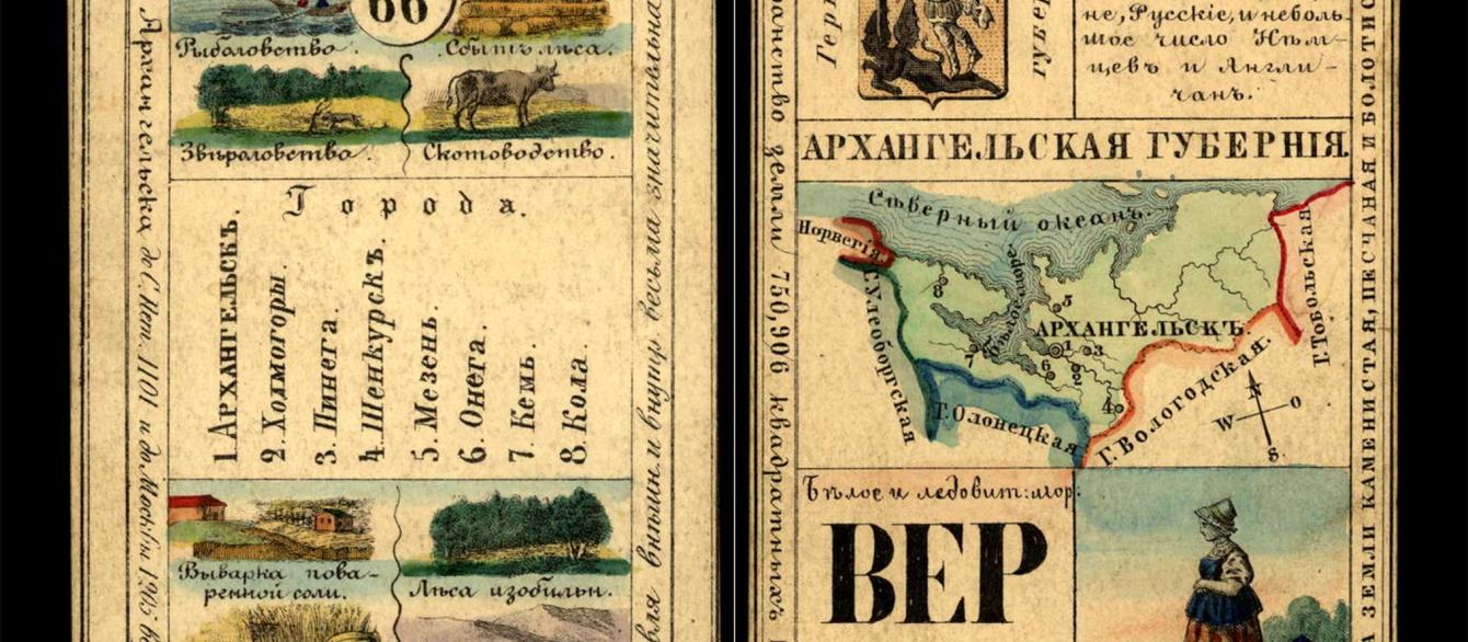
It includes hundreds of attributes describing the distribution of economic activities, ethnic groups, geographical features, and historical "particularities," as attested on an elegant set of playing cards published in 1856. If you have ever wondered where tobacco was grown or which provinces were home to volcanos, this is the dataset for you!

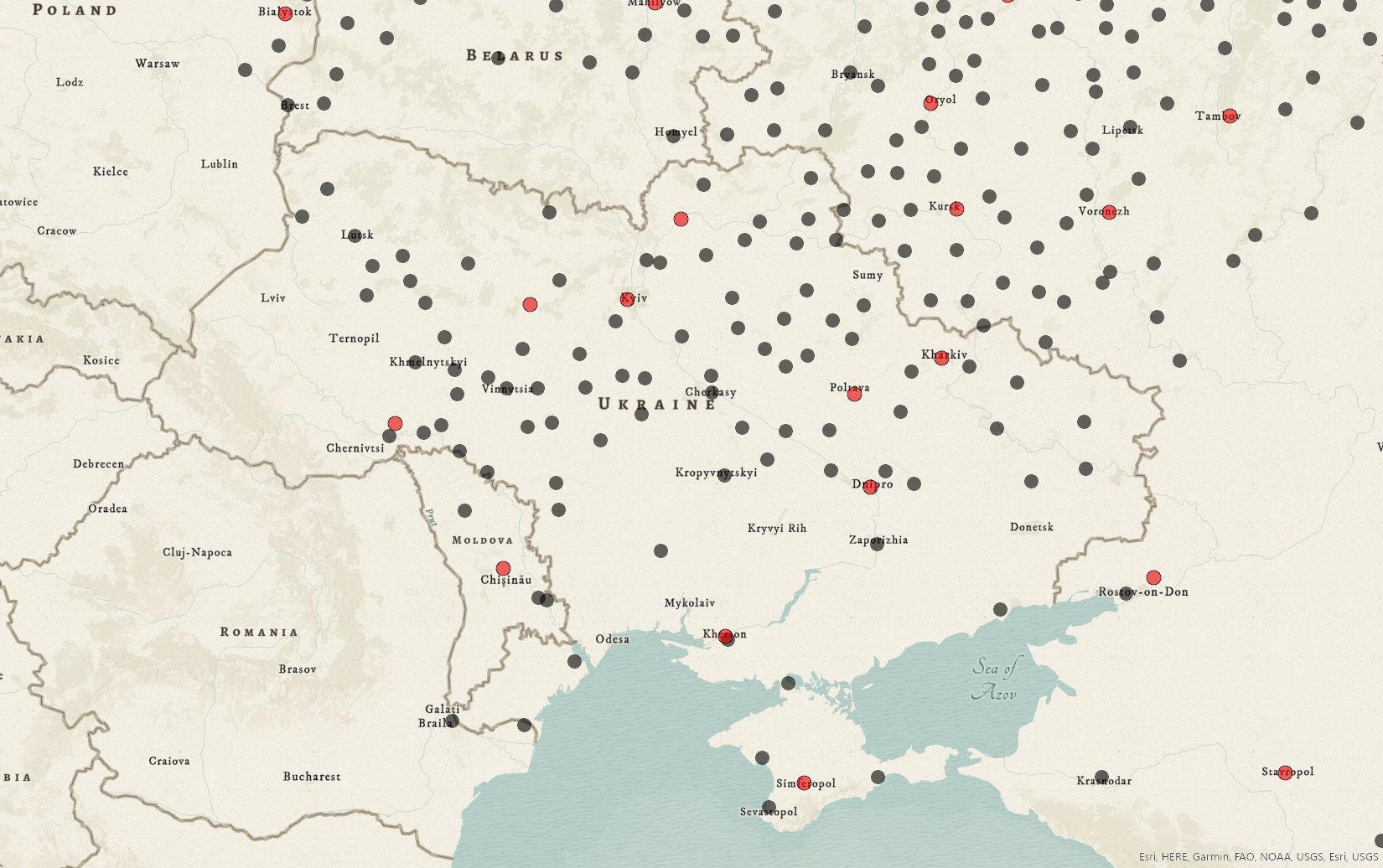
Want a quick sense of the geographic coverage of the data? Here is a detail of a map showing the towns mentioned on the playing cards.
Why it matters
This data is sourced from a deck of playing cards created both to entertain and to teach members of Russia's elite families about the empire they inhabited. The cards—all 80 of them—provide us with a unique perspective on how subjects of the tsar “saw” their country on the eve of the emancipation of the serfs.
That is not all. The shapefiles include high-quality custom historical boundary data for 77 provinces and 3 (somewhat) autonomous regions, as well as location data for 617 towns and 86 rivers.
Where to find it
The dataset is free and open to the public for non-commercial use. Click here to access it on Dataverse and put it to work for you!

Detail of an 18th century carpet featuring rows of trees or bushes.


