Projects

You know the joke: a historian, a map, and a microchip walk into a bar...

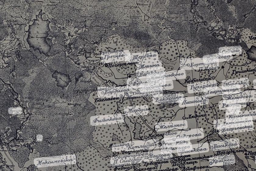
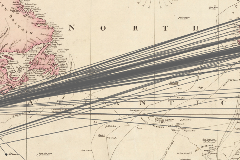
Doing spatial history requires maintaining a decent sense of humor. It also means relying on the combined expertise of social scientists, humanists, data scientists, librarians, and GIS specialists. Together we develop ways to utilize sources that have been neglected for decades (if not centuries) because they are hard to work with. The volume of dry statistical tables that makes most people run in the opposite direction? For us it is the stuff of dreams. The map most people treat as an illustration? For us it is the ultimate primary source. We like to experiment. And each project in our portfolio has a trio of goals:
  1. To create new historical knowledge;
  2. To solve a shared methodological problem;
  3. To produce a user-friendly and publicly accessible piece of history.
Owl-shaped aryballos
Owl-shaped aryballos. Wisdom old and new. Circa 640 BCE.

Whether you happen to be in a classroom or a library, at a kitchen table or a busy cafe, if you find yourself poring over maps or pondering places or spaces, we are working on these projects with you in mind.

What We're Working On