Wondering what's on in 2025-2026?
DeCode: A Research Quarterly (new publication!)
DATA EXCAVATION LAB
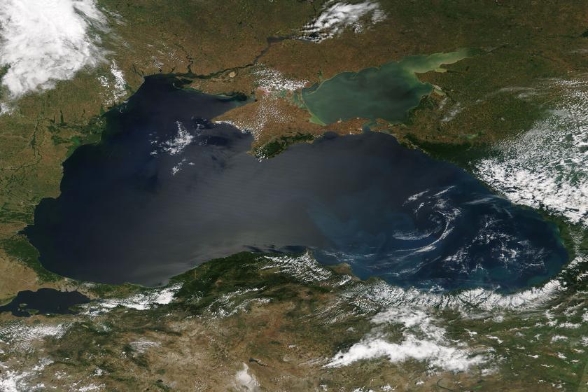
We are excited to inaugurate this new program for undergraduates and graduate students. Successful applicants will learn to build spatial data from scratch and contribute to a collaborative open-access database. The theme for the year is Ukrainian nature, and our focus will be on freshwater environments (think rivers, lakes, and wetlands). We meet on Mondays through the academic year. Keep an eye out for news and updates from the project!
MAP OF THE WEEK (new!)
Why not have a map delivered to your inbox every week? Subscribe here.
NEW RESEARCH ON THE INTERSECTION OF LITERATURE AND CARTOGRAPHY
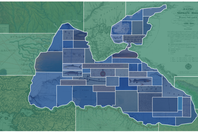
Our freely-accessible Incremental Sea Research Platform was launched on September 22, 2025. The project is a set of meditations on the Black Sea. It draws on dozens of pieces of mapwork and artwork: poems, stories, maps, memoirs, and novels composed by men and women shaped by the sea. Check it out!
MAPMAKER PODCAST
We will return to the airwaves with new episodes soon.
SPATIAL HISTORY SEMINAR
WINTER STUDIOS (January 2026)
Enroll in one or both of our virtual studios. They are open to students and scholars anywhere, but enrollment is limited.
DataBasics: A gentle introduction to thinking with, and producing, historical data taught by Dr. O'Neill. January 5-7, 2026, 09:00-12:00 EST. Open to any student or academic working on a historical topic. Application available December 2, 2025.
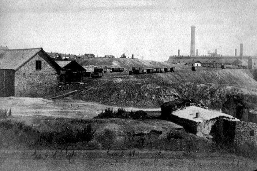
Spatial Data Studio: An introduction to reading and producing spatial data. We will learn to build gazetteers, extract data from maps, and express relationships among places. The focus of our work will by a late 19th century map of the Donets region. (Ability to read a Slavic language will come in handy as this particular map is in Russian.) January 12-14, 2026, 09:00-12:00 EST. Application available December 4, 2025.
MAP FEST (April 30, 2026)
A day of presentations and activities showcasing the work of the Data Excavation Lab.
SPATIAL HISTORY CONFERENCE (June 2026)
A 3-day event with the first day open to the public. The theme will be announced in early October.